
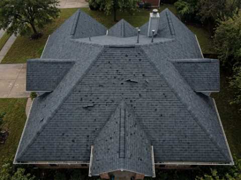
A roof inspection your adjuster won't question.
Every ladder climb is a risk. We fly it instead — every elevation, geotagged and annotated, in a report ready for your claim.
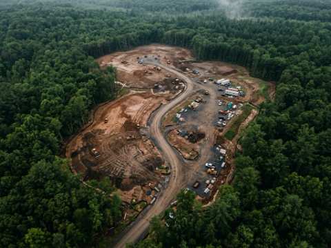
Detailed maps, built from the air.
Orthomosaics, 3D models, and volumetric data, captured in a single flight.
From call to report, in four flights.
Request comes in
Call, email, or submit the form below — tell us the address and what happened.
Flight scheduled
Priority within 24–48h for active storm claims; within the week for mapping.
Full site scan
Every elevation, consistent overlap, findings marked on site as we fly.
Report delivered
PDF report plus raw imagery, in 24–48h for storm work, 48–72h for mapping.
Certified, insured, ready to fly.
Every flight operates under Transport Canada's Advanced category, flown by a ROC‑A certified pilot.
Transport Canada Advanced
Operating certificate for complex urban and controlled airspace.
ROC‑A Certified Pilot
Advanced operations certification, current and on file.
GTA + Ontario Coverage
Based in the GTA, flying jobs across the province.
Let's find your flight window.
Tell us the address and what you need — a storm inspection or a site to map — and we'll get back with a flight window.